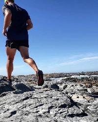
Magaliesberg traverse
Well done to them
Please Log in or Create an account to join the conversation.

And of course to Bennie and Stewart
Please Log in or Create an account to join the conversation.
Also curious on the checkpoints, start, finish and other general rules. Also other concerns such as water and access.
Please Log in or Create an account to join the conversation.

ghaznavid wrote: Anyone willing to share a gps track with me on this one?
Also interested please.
Regards
Please Log in or Create an account to join the conversation.
- HenkSeevinck
-

- Offline
- Senior Member
-

- Posts: 32
- Thank you received: 4
Same story with water and other intel - the only data that is freely available is the start, finish and trig beacon checkpoint locations. The rest is for you to discover
")
Please Log in or Create an account to join the conversation.

Stijn wrote: I suppose it's going to be difficult to maintain, but the original concept behind this FKT was for a bit of mountain experience and micro-navigation to play a role as well. Once you see the terrain, you will understand what I mean, but there is a real advantage to be gained by picking some good lines along the ridge. Hence, you'll struggle to get GPS tracks from the people who have actually completed the traverse.
Same story with water and other intel - the only data that is freely available is the start, finish and trig beacon checkpoint locations. The rest is for you to discover
Amen to that!
Please Log in or Create an account to join the conversation.